

From September 21 to 24, 2026, the International Symposium on Geospatial Knowledge and Innovation for Climate Resilience and Sustainable Development, hosted by the United Nations Global Geospatial Knowledge and Innovation Centre and the Regional Committee of United Nations Global Geospatial Information Management for Asia and the Pacific, was held in Sanya, Hainan. Representatives and experts from relevant United Nations agencies, national geospatial information authorities, research institutions, and other organizations attended the meeting.
At the opening ceremony, representatives from Ministry of Natural Resources of the People’s Republic of China, the United Nations Economic and Social Affairs Commission, the Regional Committee of United Nations Global Geospatial Information Management for Asia and the Pacific, and the People's Government of Hainan Province, China delivered speeches respectively.
The International Mangrove Center (IMC) was invited to participate in the thematic session on "Land and Sea Integration for Sustainable Development," where it joined representatives from China, Singapore, Iran, and Cape Verde to discuss climate resilience and sustainable development. Exchanges were conducted around topics such as land-sea coordination, geospatial artificial intelligence, and coastal zone and marine mapping and monitoring, exploring innovative applications of geospatial knowledge and technology in addressing climate change, enhancing climate resilience, and promoting sustainable development.
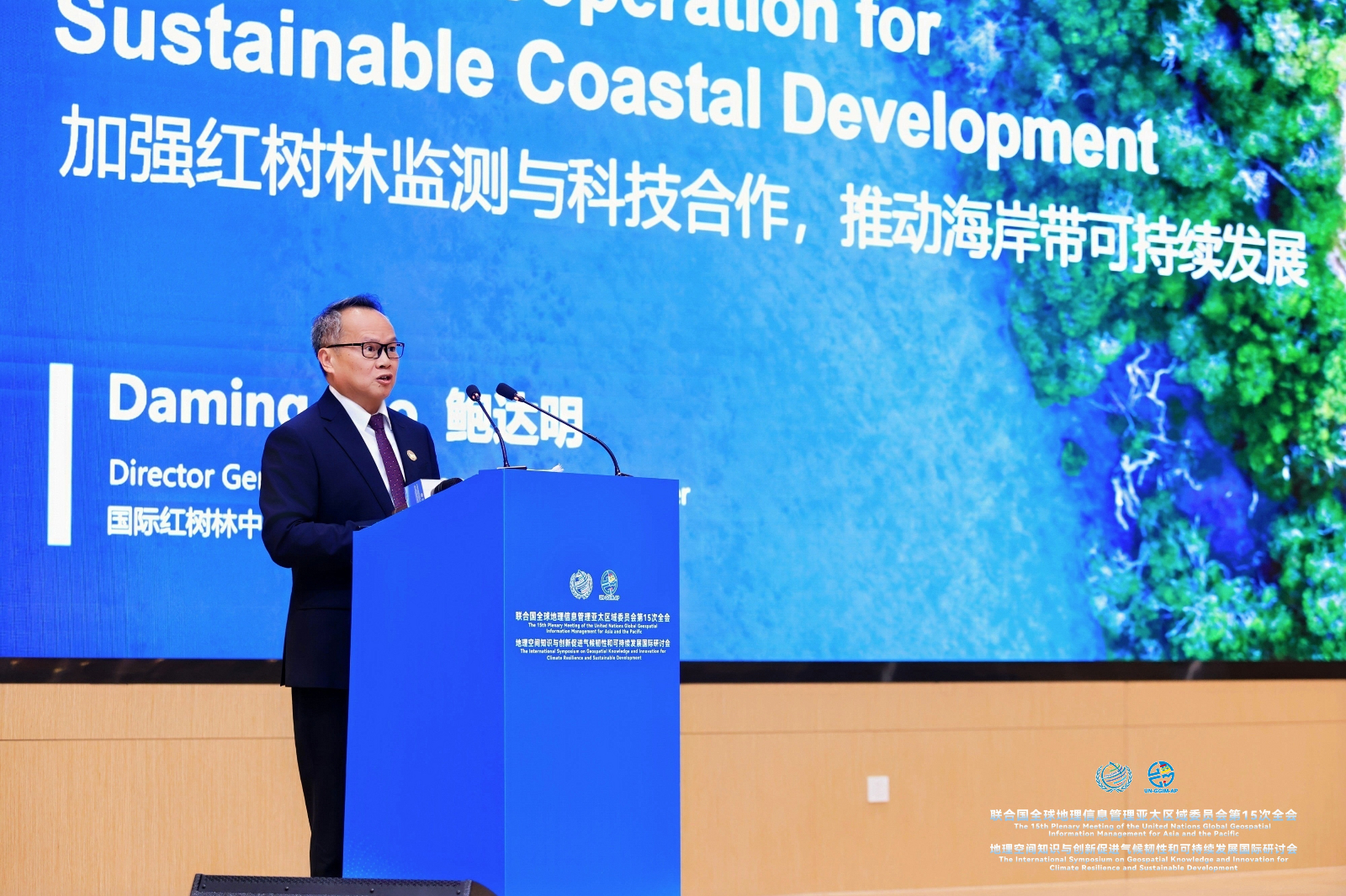
Bao Daming, Director General of the IMC
Bao Daming, Director General of the IMC, gave a thematic presentation on "Strengthening Mangrove Monitoring and Scientific and Technical Cooperation for Sustainable Coastal Development," introducing the challenges facing global mangrove conservation as well as the development history and key work of the IMC. He pointed out that mangroves, as an important ecosystem connecting land and sea, are of great significance for enhancing coastal resilience and promoting sustainable development. Scientifically understanding the distribution of mangrove resources and their dynamic changes is an important foundation for effective conservation and management.
Bao Daming emphasized that the implementation of Goals 1, 2, and 4 of the IMC Strategic Plan 2026-2034 is closely related to geospatial technology, particularly in its application to mangrove monitoring, assessment, and capacity-building training. He then introduced that the IMC has incorporated mangrove monitoring, assessment, and related geospatial technology applications into the key work of its Strategic Plan. The IMC has developed the International Mangrove Atlas at 3-meter resolution (IMA-3M), which comprehensively uses high-resolution satellite imagery, machine learning, and field observations to conduct high-precision mapping of mangrove spatial distribution in Member States, capable of identifying smaller patches and narrow coastal mangroves. Once the relevant data is integrated into a geographic information system, it can provide a scientific baseline for spatial analysis and long-term dynamic change monitoring of mangroves, and provide technical support for Member States in capacity building for mangrove conservation, restoration, and monitoring.
He stressed that mangrove conservation is a shared global responsibility. In the face of challenges brought by climate change and coastal development, it is necessary to enhance monitoring capacity and strengthen scientific and technological cooperation and knowledge sharing. The IMC will actively strengthen exchanges and cooperation with more countries, international organizations, research institutions, and partners, promote the application of geospatial information and scientific and technological innovation achievements in mangrove conservation and restoration, and contribute to enhancing the resilience of coastal ecosystems and promoting the sustainable development of coastal zones worldwide.